Contact: Bob Ratliff

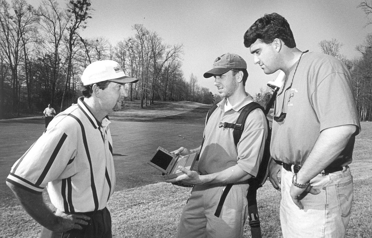
Old Waverly superintendent Bill Colloredo (r) with MSU
graduate students Milton Wardlaw (c) and Brian Ward.
Bill Colloredo is getting his place ready for some serious drop-in company.
Between May 31 and June 6, the course superintendent at the Old Waverly Golf Course will help host the more than 100,000 spectators expected for the U.S. Golf Association Women's Open. He must ensure the entire facility in West Point is in top shape for the players, their audience and the TV crew that will handle the nationally broadcast event.
Assisted by a small army of volunteers, the Old Waverly staff constantly will mow grass, rake bunkers and perform other maintenance on areas where play is not taking place.
To avoid interfering with the publicly viewed portions of the competition, their work on the 180-acre course must be precisely timed. In order to accomplish this, they're getting help from technology and computer software that was initially developed to assist farmers.
Enter Euel Coats and a support team from nearby Mississippi State University. A professor of weed science, Coats helps train students in the university's nationally recognized golf and sports turf management program.
"Euel has been helping us plan for the tournament," Colloredo said. "When we began measuring areas and timing different tasks, he suggested using new technology to make the planning more precise."
Coats and Michael S. Cox, assistant professor of plant and soil sciences, proposed that Old Waverly employ a global positioning system to help map the course. Based around data signals broadcast from orbiting satellites, GPS enables the precise marking of ground objects.
Cox, who teaches courses on the uses of GPS in crop management, enlisted the help of graduate students Brian D. Ward of Drew and Milton C. Wardlaw of Batesville. Armed with a hand-held computer and a backpack containing an antenna and other satellite downlink equipment, Ward and Wardlaw recently spent about 40 hours walking the greens, bunkers, fairways, and other parts of the par-72 course.
As they walked, a position signal traveled from satellites to their receiver. With the information, the students produced detailed maps for each hole and a large grid of the entire course. The end result is a series of displays that can be used to locate virtually anything--even individual water sprinkler heads.
"Many of our volunteers won't know the location of shutoff valves and other such things," Colloredo said. "With these maps, I can circle a piece of equipment and no one should have a problem finding it when needed."
Location will be easy to pinpoint because the maps are divided into grids with vertical columns designated by letters and horizontal columns labeled with numbers. Security and medical personnel also will benefit.
"Detailed maps of the cart paths throughout the course will enable us to 'see' the fastest route to take to respond to an emergency," Colloredo said.
A few golf courses around the nation have used GPS to generate maps, but Colloredo said he believes the Old Waverly project is the most ambitious to date.
"What Mississippi State has done for us is state-of-the-art," he said. "When superintendents at other courses see what we have, they also will appreciate the benefits of these maps for maintenance and other applications."
That outlook pleases Ward and Wardlaw, both of whom plan to use their MSU training to pursue careers in the application of GPS technology to agriculture.
"Work with golf courses would be especially beneficial during the winter when fields are too wet to be accessible," Wardlaw said.