Contact: Maridith Geuder

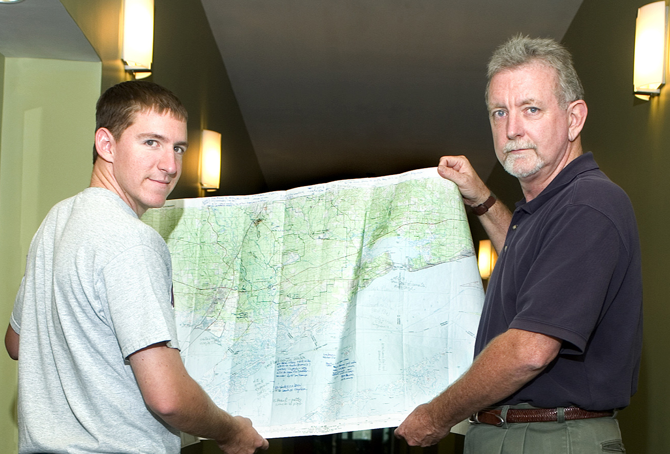
Left, grad student Paul Lanning working on the project and professor Wayne Wilkerson
In the years immediately following Mississippi's 1817 statehood, the federal government dispatched surveyors to provide detailed maps of what formerly had been Native American territories.
Those official records, including descriptive surveyor comments of the historic Choctaw and Chickasaw homelands, now are being collected into a digital database by Mississippi State.
Under the direction of landscape architecture assistant professors G. Wayne Wilkerson and Robert F. Brzuszek, the university project recently received a $38,400 grant from the National Park Service National Center for Preservation Technology and Training.
"We are converting thousands of records that we will make accessible on the World Wide Web," Wilkerson said. "As the first published research on one of Mississippi's earliest vegetation and cultural surveys, it will be a valuable tool for archaeologists, natural resource managers and historians."
Brzuszek said most of Mississippi's land plat records were created 1832-40 by surveyors hired by the then-General Land Office, now the Bureau of Land Management. "The records were produced as part of the original land survey of new states and territories in the early 19th century," he added.
The MSU research team, which includes graduate student Paul Lanning of Memphis, Tenn., is using information provided by Mississippi's secretary of state's office.
"Almost every state has records like these that originally came from the federal government," Wilkerson explained.
Team members currently are examining copies of documents that have been transferred to compact discs. Some have been transcribed into type, while others are in the original, spidery, very formal handwriting of the period. As a result, the information is "often difficult to decipher," Wilkerson observed.
In addition to establishing section lines throughout their assigned districts, the early surveyors recorded related information in leather-bound journals, including the location of "witness" trees--semi-permanent landmarks that could help verify a boundary line.
For his 1821 notes on the Choctaw Purchase "west of Pearl River," surveyor Gideon Fitz detailed the exact locations of persimmon, chestnut and beech trees on a particular section. "Good bottom land" and "poor pine" were among descriptive phrases he used.
Comparing it to a "treasure hunt," Wilkerson said the research reveals much about the land and the experiences of the surveyors. "You get a sense of what they really were going through when they write 'six miles of heavy forests,' or 'bog,'" he added.
The MSU researchers will map the historic markers using geographic information systems software. With that information, they then can develop easily understood illustrations of what Mississippi's vegetative cover might have looked like at the time of statehood.
Wilkerson said the team's future goal is to secure additional funding so that MSU's landscape architecture department "can become a Government Land Office repository for the Southeast."
An MSU faculty member since 1999, Wilkerson has worked on a number of archive conversion projects using GIS systems, including all land-use management plans for the Natchez Trace Parkway.
Brzuszek, a landscape restoration and vegetation management specialist, conducted research at MSU's Crosby Arboretum near Picayune before joining the landscape architecture faculty last year.
For more information, telephone Wilkerson or Brzuszek at (662) 325-3012. Their respective e-mail addresses are Wayne Wilkerson and Robert Brzuszek.